
Back to the Field: How Marine Researchers Can Prepare for a Successful Ocean Science Season
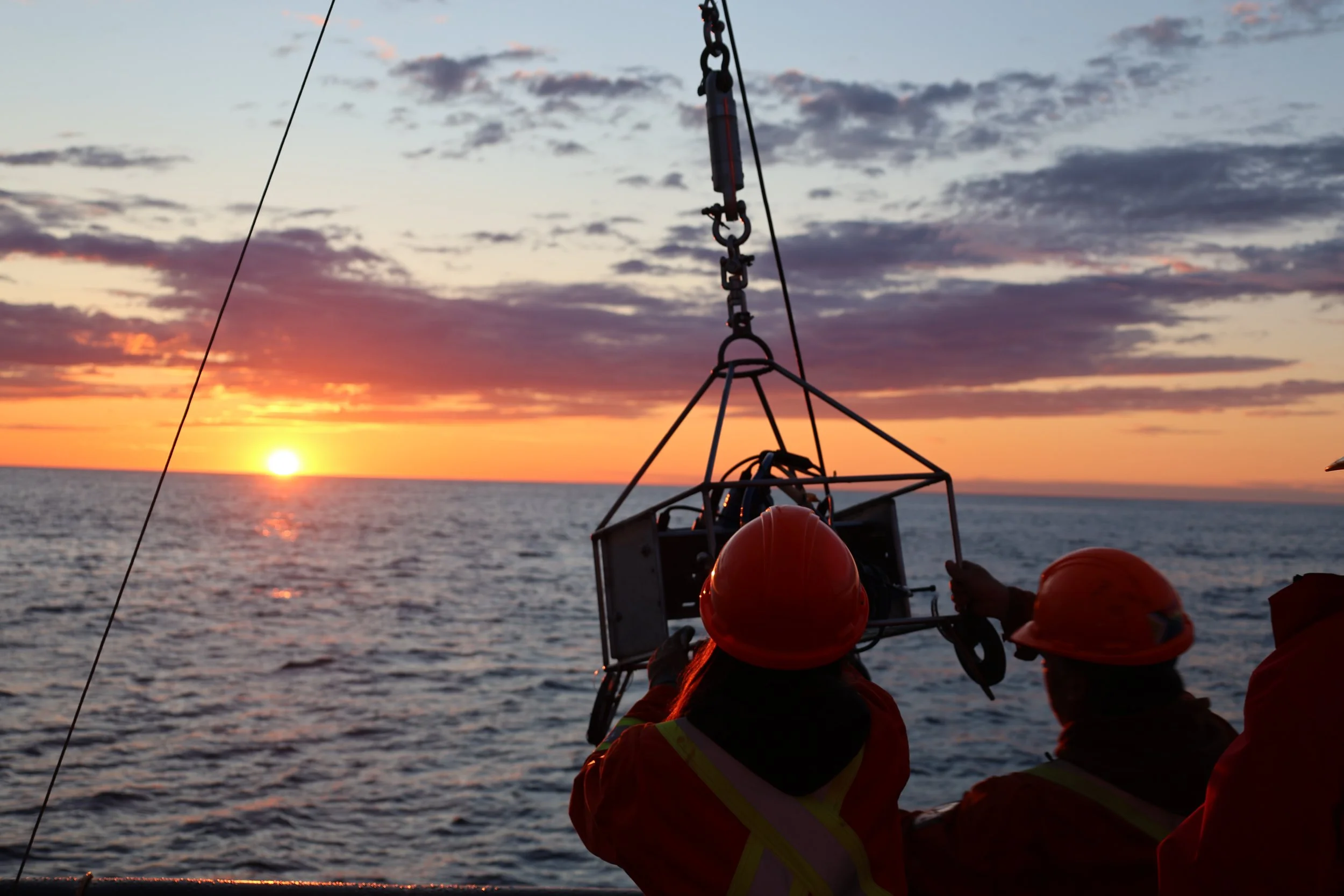
Photo credit: Marine Institute ‘Funk Island’ coral habitat discovery
It's almost September, and while the last surveys of the year are wrapping up, planning for next season's projects is already starting. For most teams, part of that planning involves the same problem every year: a chunk of the post-field budget goes to data cleanup instead of analysis. Ship time can run tens of thousands of dollars per day, and it's not unusual for a team to lose a full week after returning to shore just matching timestamps, sorting video files, and figuring out which clips correspond to which GPS points. That's time nobody budgeted for, and in a field with short weather windows and unrepeatable deployments, it's a cost that can quickly add up.
The good news is that most of that post-field workload is avoidable, not by working faster after the trip, but by capturing better-organized data during it.
Capture Data That's Ready for Analysis, Not Data That Needs Rescuing
The single biggest time sink for many teams is reconstructing context after deployments:
Matching handwritten notes to timestamps
Cross-referencing GPS logs against video
Discovering an image quality issue only once everyone's back on land
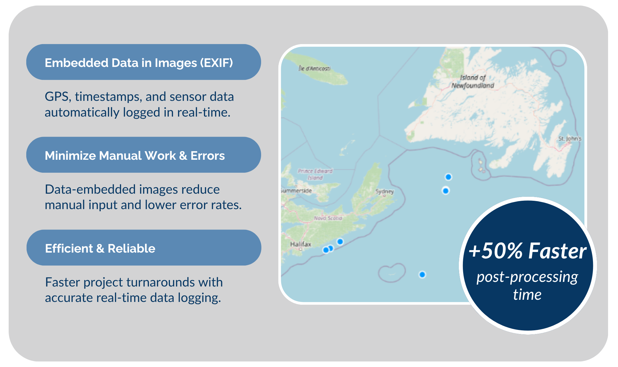
SubC's DVR+ removes that hassle by logging GPS, altitude, sensor data, and event metadata directly alongside the video as it's recorded. Observations are linked to imagery in real time, so there's no manual matching to do later. Teams that used to spend a week or more sorting and syncing files after a trip can instead spend that week on analysis, because the dataset comes back organized. For a season with several surveys, that's easily two to four weeks of analyst time recovered, not spent.
Better Imagery Without a Vehicle Upgrade
A lot of research groups are running ROVs that are reliable but weren't built for current imaging standards, and replacing a whole vehicle just to get better video is rarely in the budget.
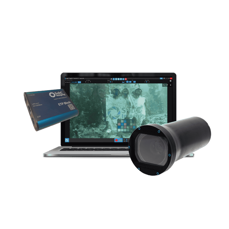
SubC's Rayfin Uplink works over the coaxial or twisted-pair cabling many legacy ROVs already have, enabling HD and 4K capture without a fiber retrofit or vehicle rebuild. Paired with Rayfin camera systems, this means clearer imagery in low-visibility or challenging conditions using equipment your team has already paid for and knows how to operate. Instead of a capital outlay on a new platform, it's a fraction of that cost to get a meaningful jump in image quality, and it extends the working life of gear that would otherwise need replacing.
Match the Platform to the Mission
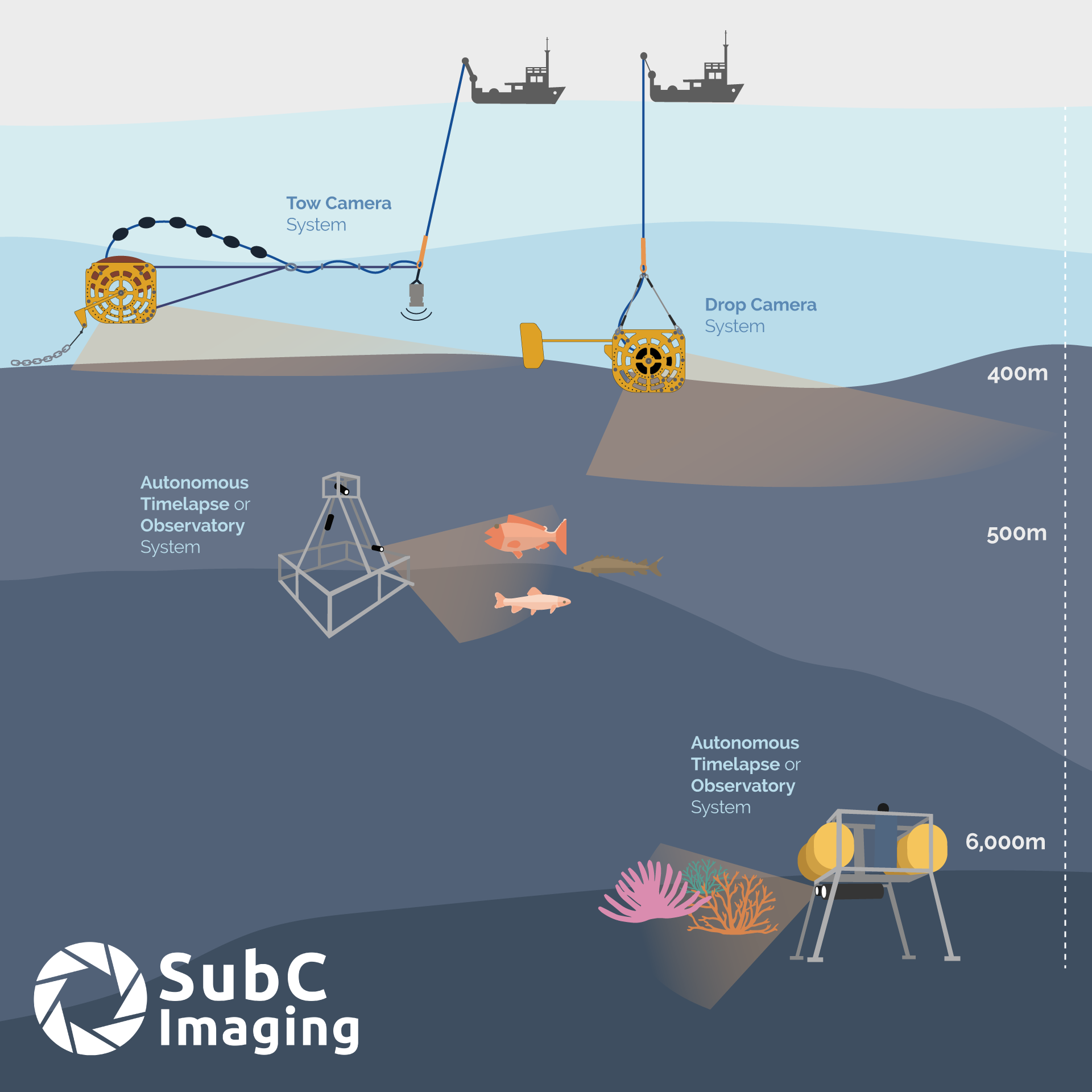
Choosing the right imaging platform cuts vessel time as much as any workflow fix does. As you scope your next projects, match the system to the job:
Rapid site assessments and repeat monitoring
SubC’s Drop Camera System, a portable option for high-quality imagery that works from small vessels, cutting the need for larger, costly charters.
Larger-area surveys
SubC’s Tow Camera System, for continuous seafloor imagery across long transects, suited to habitat mapping, fisheries research, and marine protected area monitoring.
Long-term, unattended monitoring
SubC’s Observatory Camera System and Autonomous Timelapse System automate capture over months or years with live streaming and sensor integration built in. This is where the vessel-time savings are most dramatic: a single deployment can replace what would otherwise be repeated site visits across a season, cutting the associated fuel use and emissions along with the cost.
Before You Head Offshore
A few questions worth working into your upcoming plans, while there's time to change the answer:
Can we capture observations and metadata during the survey instead of reconstructing them afterward?
Will our imagery be organized and ready for analysis the day we return?
Can we improve image quality without replacing existing equipment?
Are we using the most efficient imaging platform for this specific project?
If weather limits our field time, will every deployment produce usable data?
The teams getting the most out of their field seasons aren't the ones with the biggest budgets. They're the ones who build their imaging workflow before the season starts, so every hour on the water turns into usable data instead of a cleanup job back on shore.
